Results for "proficiency in geospatial surveying and mapping techniques"
 Status: Free
École normale supérieure
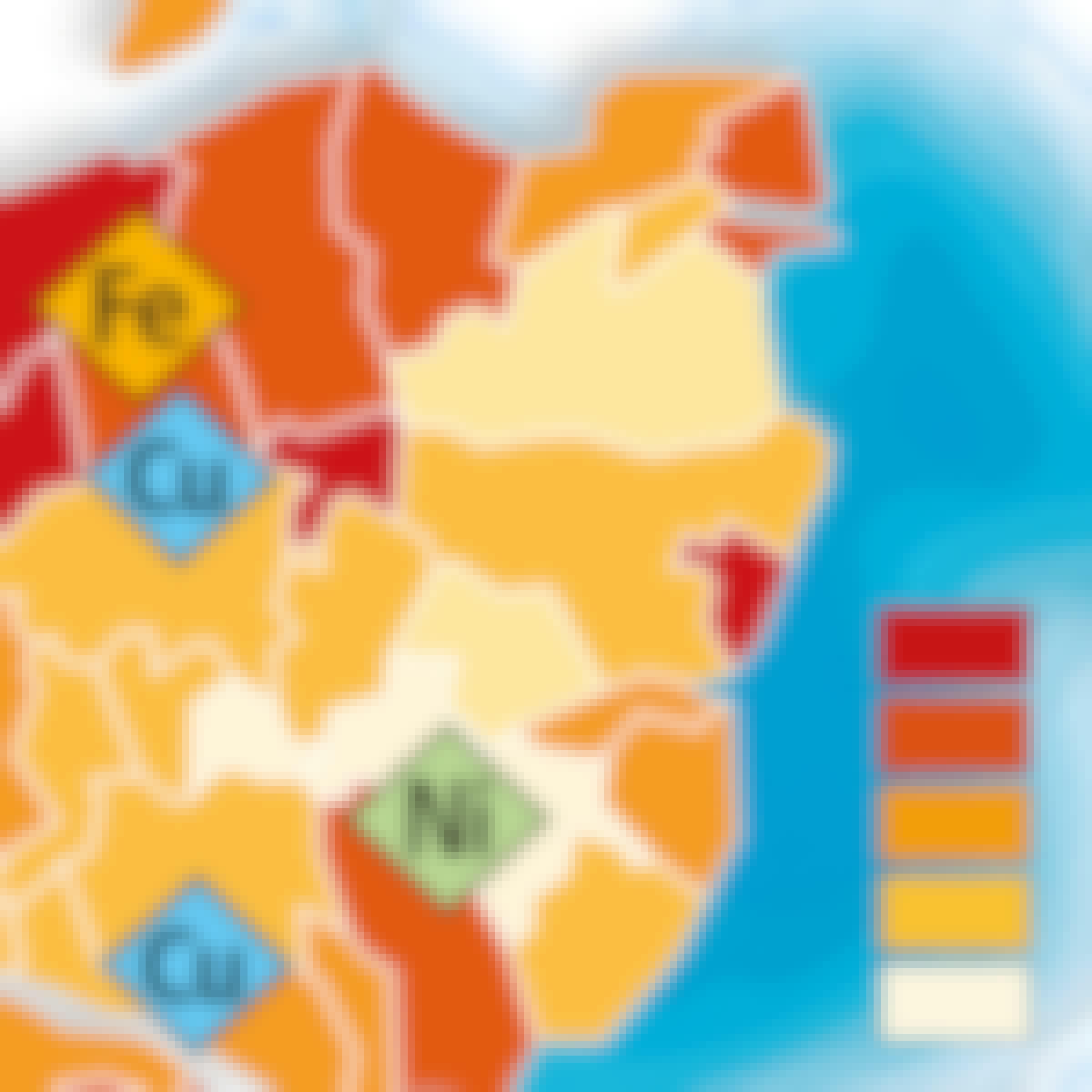
Skills you'll gain: Data Visualization Software, Geospatial Mapping, Graphic and Visual Design, Geographic Information Systems, Data Mapping, World History, Quantitative Research, Data Presentation, Color Theory
 Status: Free Trial
L&T EduTech
Skills you'll gain: Laboratory Testing, Test Engineering, Laboratory Experience, Civil Engineering, Environmental Monitoring, Engineering Analysis, Virtual Environment, Experimentation, Research Reports, Structural Analysis, Analytical Testing, Construction, Engineering Practices, Penetration Testing, Engineering Calculations, Data Analysis Software, Technical Standard
 Status: Free Trial
University of Colorado Boulder
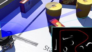
Skills you'll gain: Data Mapping, Automation, Artificial Intelligence, Real-Time Operating Systems, Global Positioning Systems, Simulations, Image Analysis, Computer Science, Algorithms, Linear Algebra, Python Programming
 Status: Free Trial
Skills you'll gain: Construction Inspection, Building Codes, Construction Engineering, Construction, Construction Management, Civil Engineering, Engineering Practices, Civil and Architectural Engineering, Engineering Plans And Specifications, Laboratory Testing, Plant Operations and Management, Safety Standards
 Status: Free Trial
Dassault Systèmes
Skills you'll gain: SolidWorks (CAD), Computer-Aided Design, Engineering Drawings, Technical Drawing, 3D Modeling, Mechanical Engineering
 Status: Preview
École Polytechnique Fédérale de Lausanne
Skills you'll gain: Geographic Information Systems, Data Modeling, GIS Software, SQL, Database Design, Spatial Data Analysis, Database Management, Query Languages, Relational Databases, Data Capture, Data Storage
 Status: Free Trial
University of Toronto
Skills you'll gain: Geographic Information Systems, Geospatial Mapping, Data Mapping, Spatial Data Analysis, Data Visualization, Metadata Management, Quantitative Research, Spatial Analysis, Typography, Data Manipulation, Data Modeling, Design Elements And Principles
 Status: NewStatus: Free Trial
Case Western Reserve University
Skills you'll gain: Geostatistics, Exploratory Data Analysis, Spatial Analysis, Geospatial Information and Technology, Geographic Information Systems, Data Cleansing, Data Analysis, Statistical Modeling, Statistical Analysis, Oil and Gas, Estimation, Simulation and Simulation Software, Data Integration
 Status: NewStatus: Free Trial
Case Western Reserve University
Skills you'll gain: Geostatistics, Exploratory Data Analysis, Spatial Analysis, Descriptive Statistics, Box Plots, Statistical Modeling, R Programming, Plot (Graphics), Rmarkdown, Data Analysis, Data Cleansing, Statistical Methods, Ggplot2, Simulations
 Status: NewStatus: Free Trial
University of Pittsburgh
Skills you'll gain: Data Storytelling, Interactive Data Visualization, Data Visualization Software, Data Presentation, Data Visualization, Tableau Software, Matplotlib, Geospatial Information and Technology, Spatial Analysis, Geospatial Mapping, Visualization (Computer Graphics), Seaborn, Infographics, Heat Maps, Data Ethics, Text Mining, Data Mapping, Network Analysis
 Status: NewStatus: Preview
Knowledge Accelerators
Skills you'll gain: Spreadsheet Software, Pivot Tables And Charts, Data Storytelling, Data Analysis, Data Presentation, Business Modeling, Analytics, Business Analysis, Trend Analysis, Microsoft 365, Data Management, Productivity, Data Entry, Key Performance Indicators (KPIs)
 Status: Preview
École Polytechnique Fédérale de Lausanne
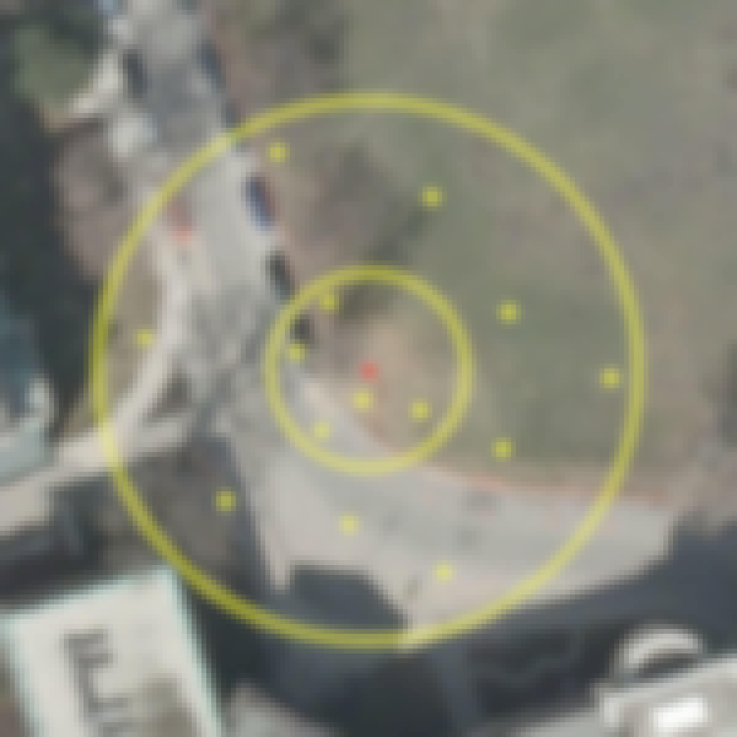
Skills you'll gain: Spatial Data Analysis, Geospatial Mapping, Geospatial Information and Technology, Geographic Information Systems, Spatial Analysis, GIS Software, Global Positioning Systems, Land Development, 3D Modeling, Survey Creation, Systems Of Measurement
In summary, here are 10 of our most popular proficiency in geospatial surveying and mapping techniques courses
- Cartographie thématique: École normale supérieure
- Site Investigation: L&T EduTech
- Robotic Mapping and Trajectory Generation: University of Colorado Boulder
- Pavement Construction Practices (IRC and MoRTH): L&T EduTech
- xDesign Advanced Sketching and Reference Geometry: Dassault Systèmes
- Systèmes d’Information Géographique - Partie 1: École Polytechnique Fédérale de Lausanne
- GIS Data Acquisition and Map Design: University of Toronto
- Case Studies in Geostatistical Modeling : Case Western Reserve University
- Using R for Geostatistical Geospatial Modeling : Case Western Reserve University
- Interactive, Geospatial & Narrative Data Visualization: University of Pittsburgh


