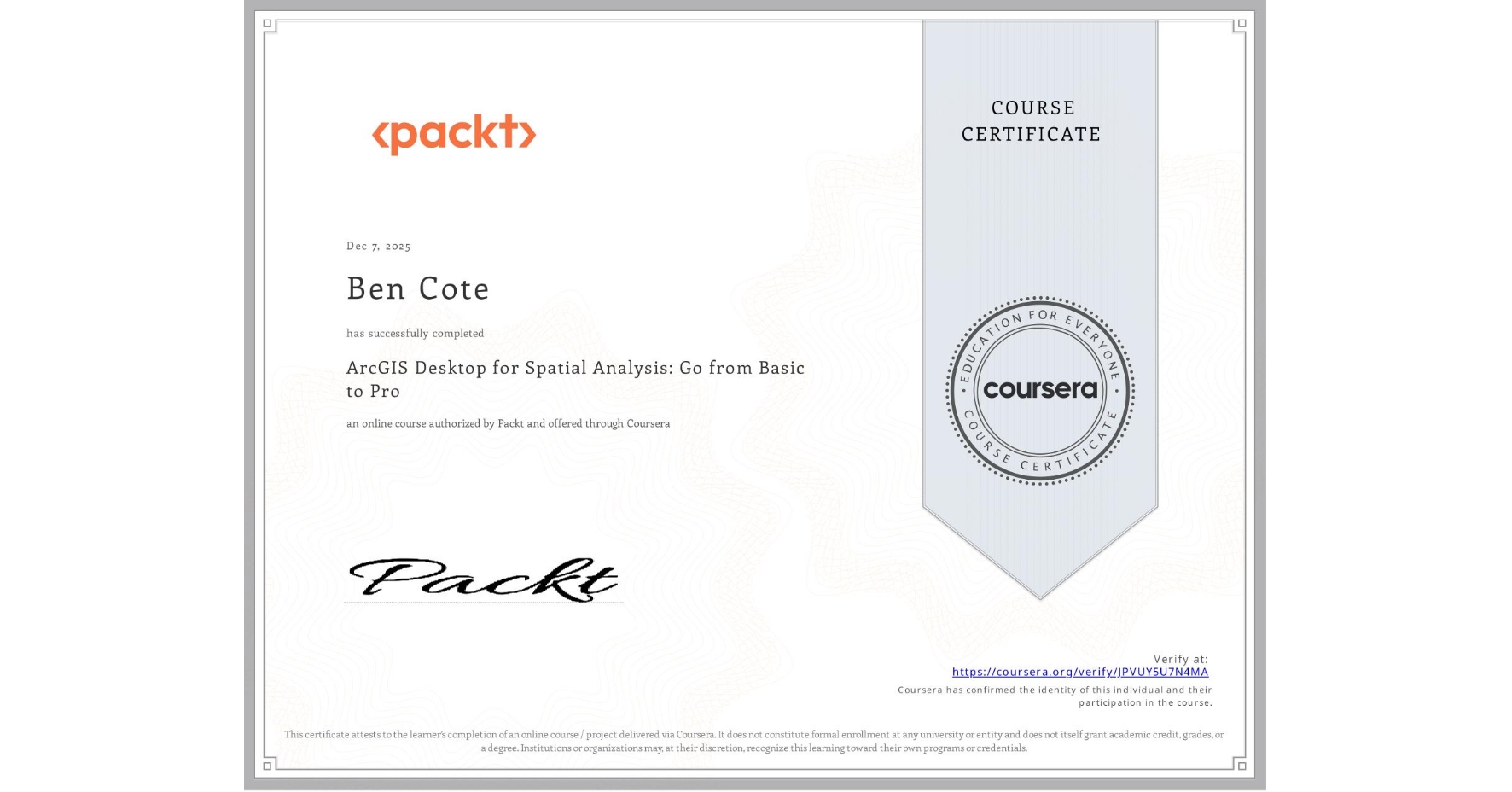
ArcGIS Desktop for Spatial Analysis: Go from Basic to Pro
Completed by Ben Cote
December 7, 2025
7 hours (approximately)
Ben Cote's account is verified. Coursera certifies their successful completion of ArcGIS Desktop for Spatial Analysis: Go from Basic to Pro

What you will learn
Identify and access spatial data using ArcGIS Desktop
Explain the differences between raster and vector data and their applications
Perform data manipulations and geoprocessing tasks within ArcGIS Desktop
Evaluate spatial data to derive meaningful insights and patterns.
Skills you will gain
- Category: Spatial Analysis
- Category: Geographic Information Systems
- Category: Data Access
- Category: Data Analysis Software
- Category: Spatial Data Analysis
- Category: Data Mapping
- Category: Geospatial Mapping
- Category: Data Management
- Category: Geospatial Information and Technology
- Category: Data Integration
- Category: GIS Software
- Category: Data Import/Export