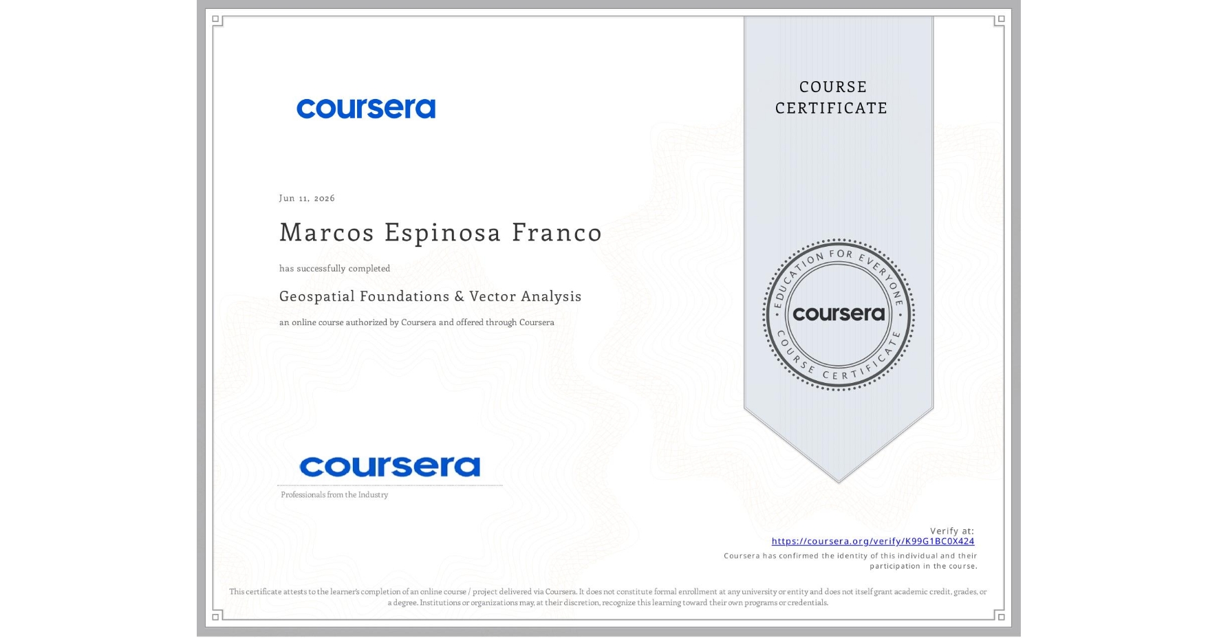
Geospatial Foundations & Vector Analysis
Completed by Marcos Espinosa Franco
June 11, 2026
7 hours (approximately)
Marcos Espinosa Franco's account is verified. Coursera certifies their successful completion of Geospatial Foundations & Vector Analysis

What you will learn
Understand GIS concepts, coordinate systems, and spatial data types.
Set up Python environment for geospatial analysis
Analyze vector data using GeoPandas
Manage geospatial data and apply quality checks
Skills you will gain
- Category: Software Installation
- Category: Spatial Analysis
- Category: Verification And Validation
- Category: Development Environment
- Category: Metadata Management
- Category: Geographic Information Systems
- Category: Geospatial Mapping
- Category: Geospatial Information and Technology
- Category: Data Validation
- Category: Spatial Data Analysis
- Category: Data Quality
- Category: GIS Software