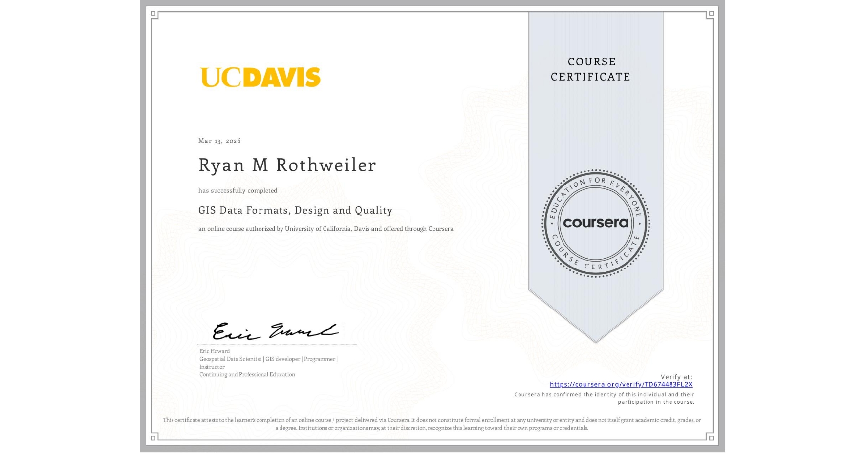
GIS Data Formats, Design and Quality
Completed by Ryan M Rothweiler
March 13, 2026
26 hours (approximately)
Ryan M Rothweiler's account is verified. Coursera certifies their successful completion of GIS Data Formats, Design and Quality

What you will learn
Design data tables and use separating and joining data in a relational database
Write query strings to subset data
Create and work with raster data
Create web maps
Skills you will gain
- Category: Data Sharing
- Category: Data Storage Technologies
- Category: Geospatial Information and Technology
- Category: Analytics
- Category: Data Capture
- Category: Interactive Data Visualization
- Category: Geographic Information Systems
- Category: Data Literacy
- Category: Data Manipulation
- Category: Geospatial Mapping
- Category: Data Management
- Category: Data Storage