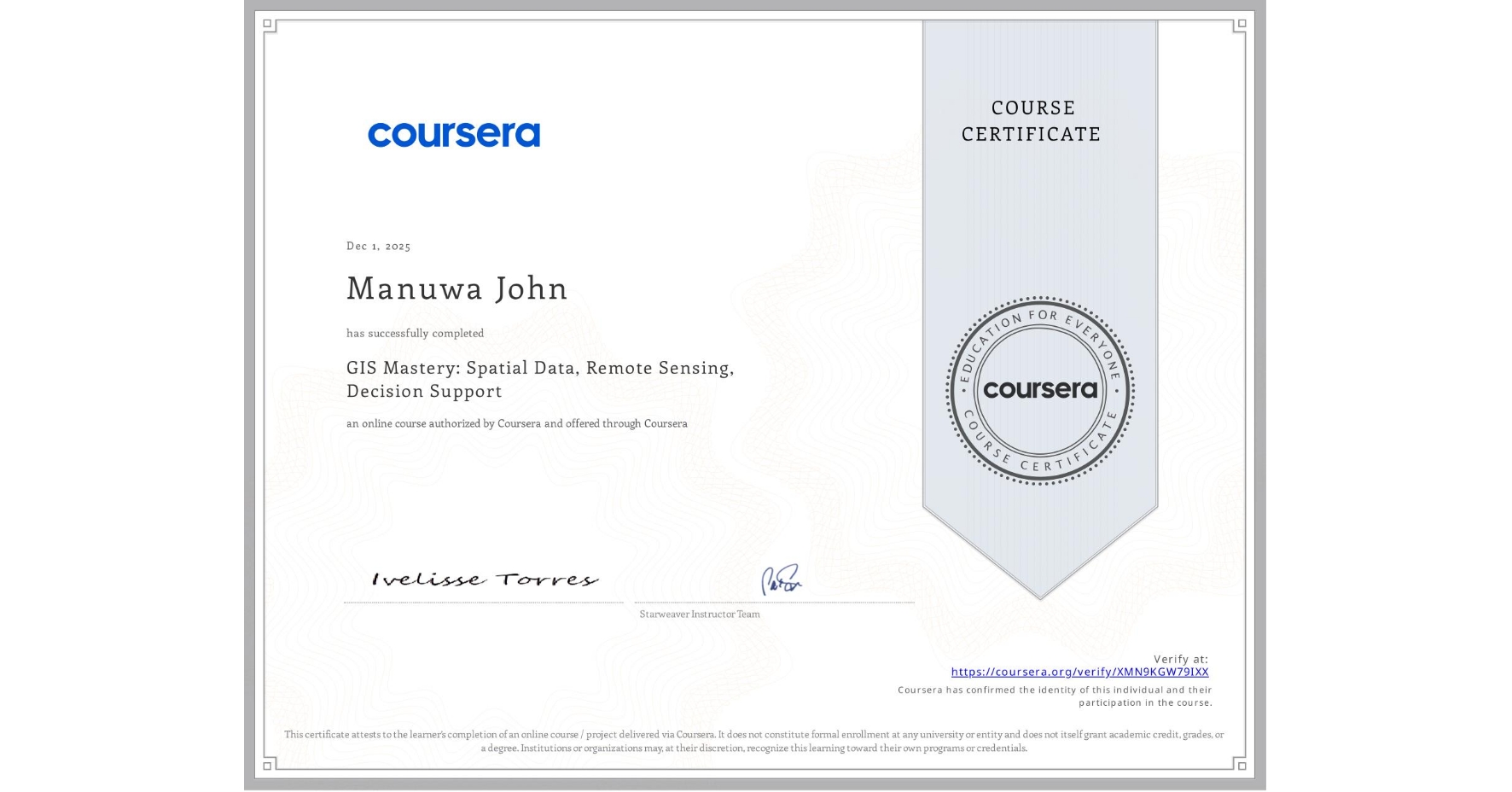
GIS Mastery: Spatial Data, Remote Sensing, Decision Support
Completed by Manuwa John
December 1, 2025
2 hours (approximately)
Manuwa John's account is verified. Coursera certifies their successful completion of GIS Mastery: Spatial Data, Remote Sensing, Decision Support

What you will learn
Acquire key concepts of a Geographic Information Systems.
Identify and analyze the main diverse types of GIS data and professionals.
Apply concepts learned in the course to provide decision making examples with different real-world GIS projects.
Discover GIS data in Public Access databases at different geographic levels
Skills you will gain
- Category: Geospatial Information and Technology
- Category: Spatial Analysis
- Category: Data Analysis
- Category: Decision Support Systems
- Category: Data Integration
- Category: Global Positioning Systems
- Category: Spatial Data Analysis
- Category: GIS Software
- Category: Geographic Information Systems
- Category: Geospatial Mapping