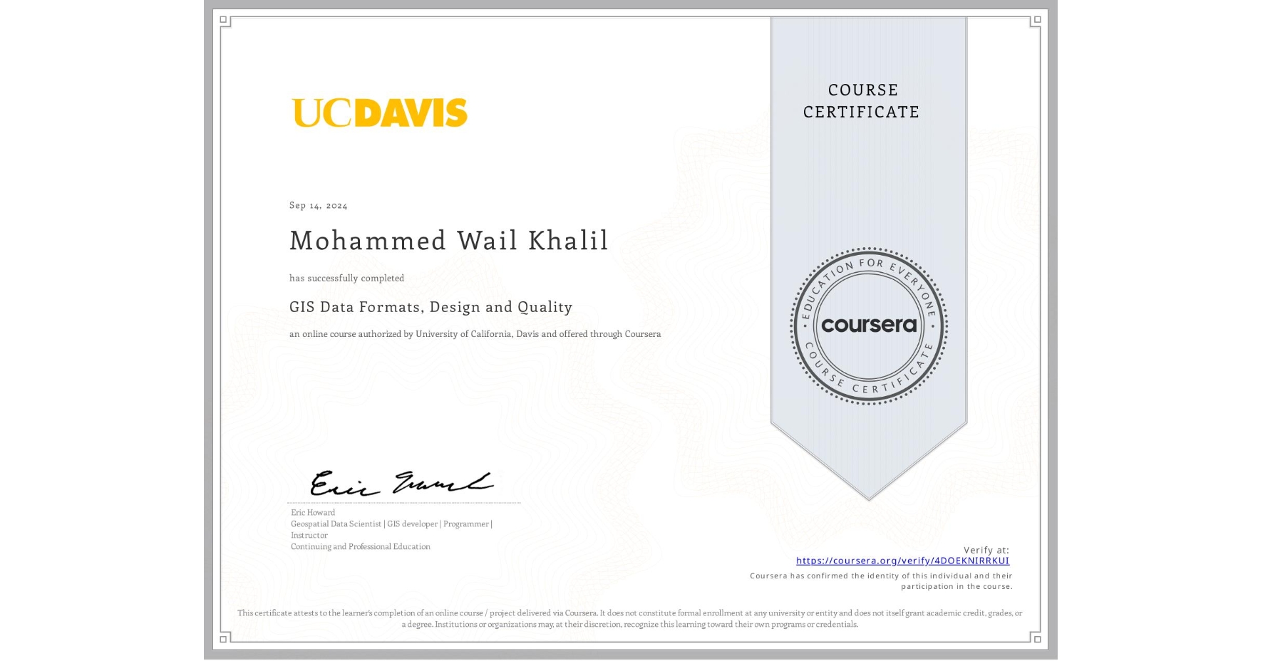
GIS Data Formats, Design and Quality
Completed by Mohammed Wail Khalil
September 14, 2024
26 hours (approximately)
Mohammed Wail Khalil's account is verified. Coursera certifies their successful completion of GIS Data Formats, Design and Quality

What you will learn
Design data tables and use separating and joining data in a relational database
Write query strings to subset data
Create and work with raster data
Create web maps
Skills you will gain
- Category: Data Storage
- Category: Spatial Analysis
- Category: Data Sharing
- Category: Data Quality
- Category: ArcGIS
- Category: Data Mapping
- Category: GIS Software
- Category: Database Design
- Category: Data Modeling
- Category: Query Languages
- Category: Geographic Information Systems
- Category: Interactive Data Visualization