Remote Sensing Courses
Remote sensing courses can help you learn about satellite imagery analysis, geographic information systems (GIS), and environmental monitoring techniques. You can build skills in data interpretation, spatial analysis, and remote sensing applications in agriculture and urban planning. Many courses introduce tools like ArcGIS and QGIS, along with software for processing satellite data, that support analyzing and visualizing geographic information.
Popular Remote Sensing Courses and Certifications

Google Cloud
Skills you'll gain: Apache Spark, Google Cloud Platform, Cloud Management, Cloud Computing, Distributed Computing, Package and Software Management
MathWorks
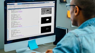
Skills you'll gain: Image Analysis, Matlab, Computer Vision, File I/O, Automation, Anomaly Detection, Engineering Practices, Data Preprocessing, Mathematical Software, Data Store
University of Colorado Boulder
Skills you'll gain: Climate Change Adaptation, Environmental Issue, Corporate Sustainability, Environmental Resource Management, Climate Change Mitigation, Social Impact, Mitigation, Sustainable Systems, Community Development, Community Outreach, Water Resource Management, Risk Analysis, Environmental Science, Vulnerability, Case Studies
In summary, here are 3 of our most popular remote sensing courses
- Distributed Image Processing in Cloud Dataproc: Google Cloud
- Automating Image Processing: MathWorks
- Planning with Climate Change in Mind: University of Colorado Boulder


