Results for "gis+software"

Coursera
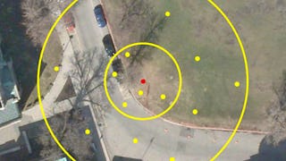
Skills you'll gain: Interactive Data Visualization, Data Visualization, Heat Maps, Spatial Data Analysis, Geospatial Information and Technology, Data Visualization Software, Technical Communication, Geospatial Mapping, Data Mapping, Interactive Design, Hypertext Markup Language (HTML), GitHub, Usability, Public Health, Document Management

Coursera
Skills you'll gain: Spatial Data Analysis, Spatial Analysis, Geographic Information Systems, Geospatial Information and Technology, Geospatial Mapping, Statistical Methods, Data Analysis, Statistical Analysis, Correlation Analysis, Technical Communication

Skills you'll gain: GIS Software, Geographic Information Systems, Spatial Data Analysis, Geospatial Information and Technology, Spatial Analysis, Geospatial Mapping, Data Validation, Metadata Management, Data Quality, Verification And Validation, File Management, Package and Software Management, Development Environment, Software Installation
University of Toronto
Skills you'll gain: Geographic Information Systems, Geospatial Information and Technology, Geospatial Mapping, GIS Software, Data Mapping, Spatial Data Analysis, Metadata Management, Quantitative Research, Spatial Analysis, Typography, Data Cleansing, Data Manipulation, Design Elements And Principles, Data Import/Export
LearnKartS
Skills you'll gain: Bitbucket, Git (Version Control System), Version Control, GitLab, Collaborative Software, Software Development Tools, Software Versioning, Command-Line Interface
University of California, Davis
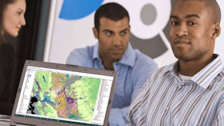
Skills you'll gain: ArcGIS, GIS Software, Geographic Information Systems, Public Health and Disease Prevention, Public Health, Land Management, Geospatial Information and Technology, Geospatial Mapping, Spatial Analysis, Epidemiology, Community Health, Spatial Data Analysis, Land Development, Social Determinants Of Health, Emergency Response, Environmental Science, Natural Resource Management, Emergency Services, Business Development, Environment and Resource Management
University of Toronto
Skills you'll gain: Geographic Information Systems, GIS Software, Spatial Analysis, Spatial Data Analysis, Geospatial Information and Technology, Query Languages, Data Access, Data Processing, Image Analysis, Image Quality
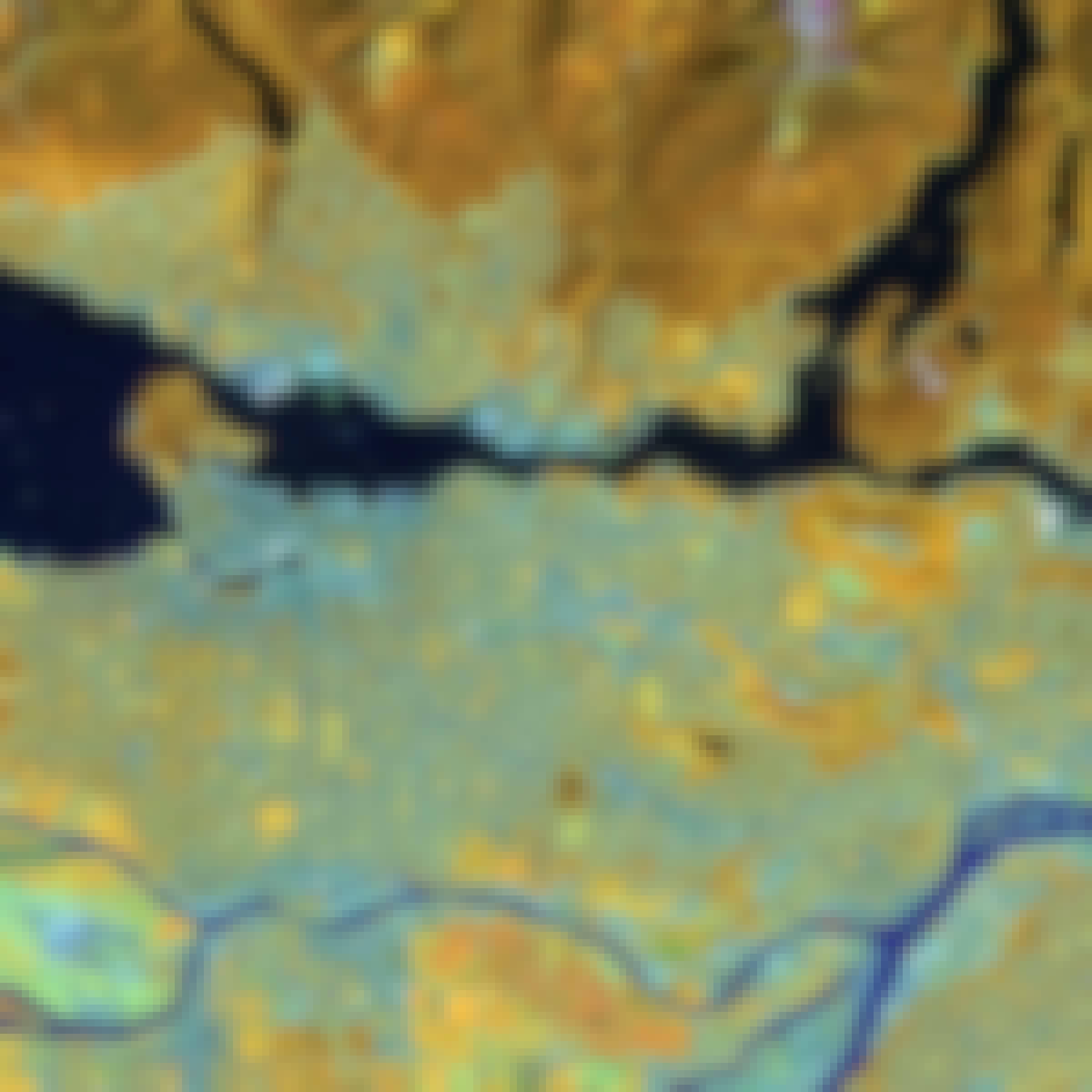
Skills you'll gain: Geospatial Information and Technology, Environmental Monitoring, Spatial Data Analysis, Model Evaluation, Geographic Information Systems, GIS Software, Data Processing, Spatial Analysis, Image Analysis, Environmental Science, Data Analysis, Data Transformation, Verification And Validation, Technical Communication

Skills you'll gain: Prometheus (Software), CI/CD, Grafana, DevOps, Continuous Integration, Kubernetes, Continuous Delivery, Continuous Deployment, GitHub, Docker (Software), Application Deployment, System Monitoring, Dashboard Creation, Software Visualization

L&T EduTech
Skills you'll gain: Geospatial Information and Technology, Spatial Analysis, Geographic Information Systems, Spatial Data Analysis, GIS Software, Database Management, Database Management Systems, ArcGIS, Relational Databases, Data Modeling, Data Mapping, Data Import/Export, Open Source Technology, Web Applications, Mobile Development

Skills you'll gain: Wiring Diagram, Architectural Drawing, AutoCAD, Electrical Wiring, Electrical Systems, Blueprint Reading, Electrical Equipment, Technical Drawing, Electrical Power, Drafting and Engineering Design, Computer-Aided Design, Schematic Diagrams, Electronics Engineering, Engineering Design Process, Commercial Construction, Layout Design, Autodesk, Technical Documentation, AutoCAD Civil 3D, Design Software

University of Michigan
Skills you'll gain: 3D Modeling, 3D Assets, Design Elements And Principles, Visualization (Computer Graphics), Design Software, Computer-Aided Design, Design, User Interface (UI)
In summary, here are 10 of our most popular gis+software courses
- Build Interactive Maps: Coursera
- Crunch Spatial Stats: Coursera
- Geospatial Foundations & Vector Analysis : Coursera
- GIS Data Acquisition and Map Design: University of Toronto
- Git with GitLab and BitBucket: LearnKartS
- GIS Applications Across Industries: University of California, Davis
- Spatial Analysis and Satellite Imagery in a GIS: University of Toronto
- Raster Processing & Remote Sensing: Coursera
- DevOps Automation, Monitoring & GitOps: Packt
- Geospatial Information Technology Essentials: L&T EduTech


