Geography Courses
Geography courses can help you learn spatial analysis, cartography, environmental systems, and urban planning. You can build skills in geographic information systems (GIS), data visualization, and understanding demographic trends. Many courses introduce tools like ArcGIS and QGIS, that support mapping and analyzing geographic data, as well as methods for interpreting spatial relationships and patterns.
Popular Geography Courses and Certifications
 Status: Preview
Pontificia Universidad Católica de Chile
Skills you'll gain: Sustainable Systems, Sustainable Development, Environment, Environmental Science, Socioeconomics, Environmental Issue, Sustainable Design, Social Justice, Climate Change Adaptation, Natural Resource Management, Social Impact, Social Sciences, Climate Change Mitigation, Human Development
 Status: NewStatus: Free Trial
Coursera
Skills you'll gain: Data Visualization, Datamaps, Data Presentation, Data Mapping, Color Theory, Design, Visual Design, Graphic and Visual Design, Layout Design, Design Elements And Principles, Geospatial Mapping, Design Strategies
 Status: Preview
University of Geneva
Skills you'll gain: Climate Change Adaptation, Water Resources, Climate Change Programs, Water Resource Management, Hydrology, Environmental Resource Management, Risk Management, Water Quality, Water Sustainability, Mitigation, Natural Resource Management, Environment, Climate Change Mitigation, Sustainable Development, Social Impact, Social Sciences, Hazard Analysis, Social Network Analysis, Physical Science, Governance
 Status: Free Trial
Universidad de los Andes
Skills you'll gain: Spatial Analysis, Spatial Data Analysis, Geospatial Mapping, Geographic Information Systems, Geospatial Information and Technology, GIS Software, Environmental Monitoring, Climate Change Programs, Image Analysis, Python Programming, Model Evaluation, Software Installation
 Status: NewStatus: Free Trial
Coursera
Skills you'll gain: Geographic Information Systems, GIS Software, Geospatial Information and Technology, Spatial Data Analysis, Spatial Analysis, Geospatial Mapping, Data Structures
 Status: Preview
École Polytechnique Fédérale de Lausanne
Skills you'll gain: Spatial Analysis, Spatial Data Analysis, GIS Software, Geospatial Information and Technology, Geographic Information Systems, Geospatial Mapping, Geostatistics, Interactive Data Visualization, Data Integration, Data Mapping, Augmented Reality, Statistical Analysis, Sampling (Statistics)
 Status: NewStatus: Preview
Universitat Politècnica de València
Skills you'll gain: Mechanics, Physics, Systems Of Measurement, Differential Equations, Calculus, Trigonometry, Derivatives
 Status: Free Trial
University of Pittsburgh
Skills you'll gain: Data Storytelling, Interactive Data Visualization, Data Visualization Software, Data Presentation, Spatial Data Analysis, Data Visualization, Datamaps, Tableau Software, Matplotlib, Geospatial Information and Technology, Leaflet (Software), Spatial Analysis, Geospatial Mapping, Plot (Graphics), Seaborn, Visual Storytelling, Data Ethics, Data Mapping, Network Analysis
 Status: Preview
University of Illinois Urbana-Champaign
Skills you'll gain: Geospatial Information and Technology, Geographic Information Systems, Apache Hadoop, Spatial Data Analysis, Geospatial Mapping, Spatial Analysis, Big Data, Matplotlib, Data Processing, Computational Thinking, Distributed Computing, Data Manipulation, Theoretical Computer Science, Python Programming

University of Illinois Urbana-Champaign
Skills you'll gain: Peer Review, Financial Management, Financial Modeling, Financial Data, Financial Statement Analysis, Financial Analysis, Financial Forecasting, Data Storytelling, Mergers & Acquisitions, Investments, Business Valuation, Case Studies, Risk Management, Corporate Strategy
 Status: Preview
University of Geneva
Skills you'll gain: Political Sciences, Geospatial Information and Technology, Public History, Geographic Information Systems, Cultural Responsiveness, Social Justice, Social Sciences, Economic Development, Cultural Diversity, Data Mapping, International Relations, Sustainable Development, Storytelling, World History, Case Studies
 Status: Free
Skills you'll gain: Social Studies, Social Sciences, Socioeconomics, Culture, Economic Development, Sociology, Sustainable Development, Social Justice, Cultural Diversity, World History, Economics, Demography, Political Sciences, Public Policies, European History, Internet Of Things, Governance, Research Methodologies
In summary, here are 10 of our most popular geography courses
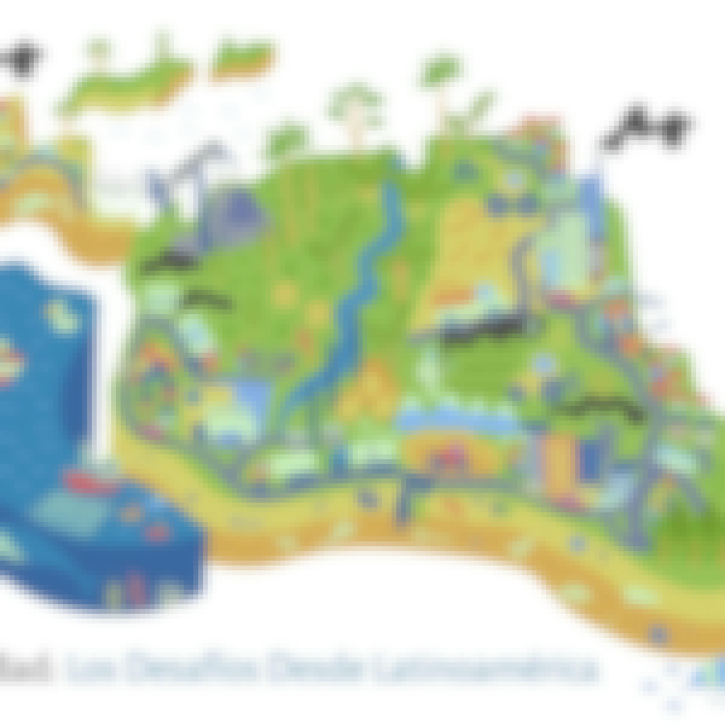
- Sustentabilidad: los desafíos desde Latinoamérica: Pontificia Universidad Católica de Chile
- Design Stunning Maps: Coursera
- Climate Change and Water in Mountains: A Global Concern: University of Geneva
- Modelaje y Análisis con información georreferenciada: Universidad de los Andes
- Discover Spatial Basics: Coursera
- Geographical Information Systems - Part 2: École Polytechnique Fédérale de Lausanne
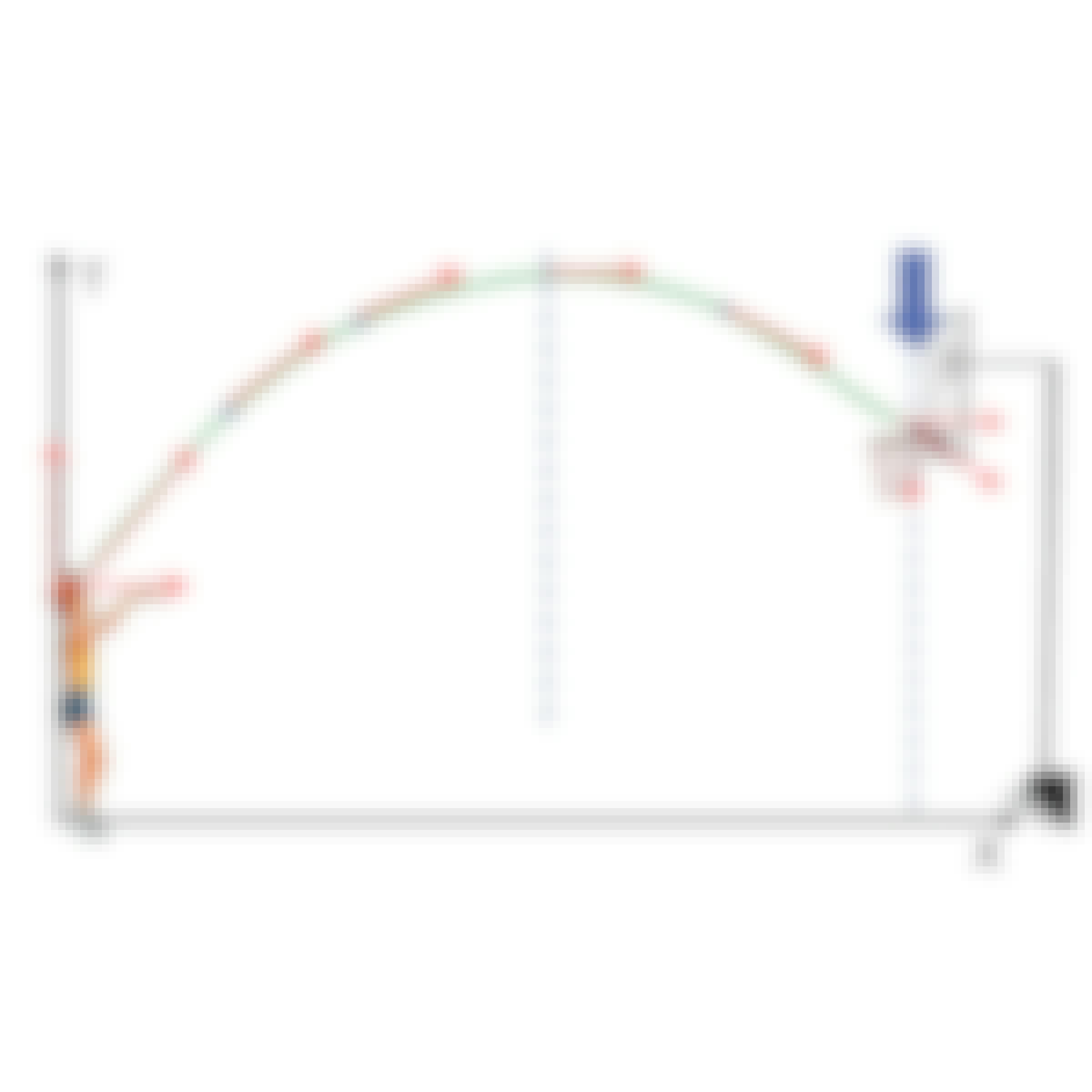
- Physics Fundamentals: Mechanics: Universitat Politècnica de València
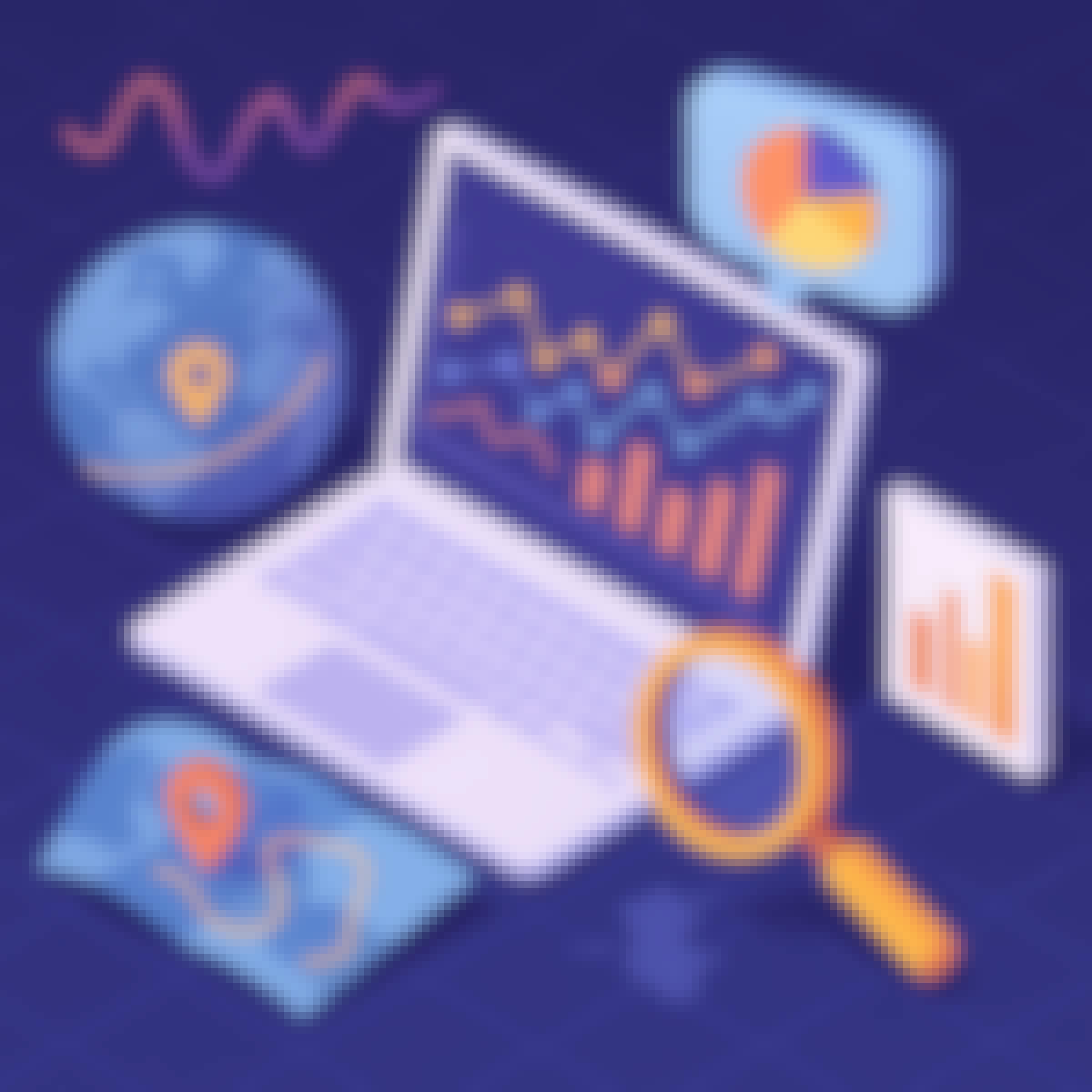
- Interactive, Geospatial & Narrative Data Visualization: University of Pittsburgh
- Getting Started with CyberGIS: University of Illinois Urbana-Champaign
- Financial Management Capstone: University of Illinois Urbana-Champaign


