
Filter by
The language used throughout the course, in both instruction and assessments.
Build job-relevant skills in under 2 hours with hands-on tutorials.
Learn from top instructors with graded assignments, videos, and discussion forums.
16 results for "geospatial information system"
University of Toronto
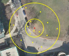
Skills you'll gain: ArcGIS, Data Visualization, Geovisualization, Data Analysis, Spatial Analysis, Data Analysis Software, Databases, Spatial Data Analysis, GIS Software, Mergers & Acquisitions
 Status: Free
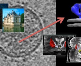
Skills you'll gain: Computer Graphic Techniques, Computer Vision, Algorithms, Computer Graphics, Visualization (Computer Graphics), Mathematical Theory & Analysis, Applied Mathematics, Linear Algebra, Mathematics, Spatial Analysis

Coursera Project Network
Skills you'll gain: Data Analysis, Spatial Analysis

Splunk Inc.
Skills you'll gain: Big Data, Business Intelligence, Data Analysis, Data Science
In summary, here are 10 of our most popular geospatial information system courses
- GIS Data Acquisition and Map Design: University of Toronto
- Image and Video Processing: From Mars to Hollywood with a Stop at the Hospital: Duke University
- Einstieg in die Raeumliche Datenanalyse mit GeoDa: Coursera Project Network
- Splunk Knowledge Manager 102: Splunk Inc.


