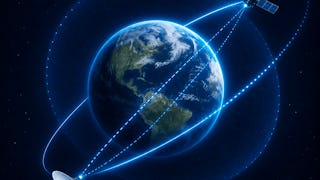
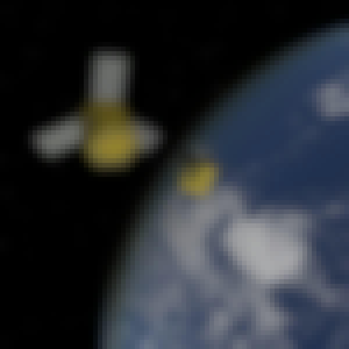
Satellite Courses
Satellite courses can help you learn orbital mechanics, satellite communication systems, remote sensing techniques, and data analysis for satellite imagery. You can build skills in signal processing, geographic information systems (GIS), and project management for satellite missions. Many courses introduce tools like MATLAB for simulations, Python for data analysis, and specialized software for image processing, allowing you to apply your knowledge in practical scenarios such as developing satellite applications or analyzing environmental data.
Popular Satellite Courses and Certifications
 Status: NewStatus: Free Trial
Skills you'll gain: Spatial Data Analysis, Spatial Analysis, Geographic Information Systems, Random Forest Algorithm, Model Evaluation, Feature Engineering, Model Training, Matplotlib, Convolutional Neural Networks, Image Analysis, Applied Machine Learning, Plot (Graphics), Supervised Learning, Environmental Monitoring, Geospatial Information and Technology, Scientific Visualization, Predictive Modeling, Deep Learning, Geospatial Mapping, Machine Learning
 Status: Free Trial
University of Toronto
Skills you'll gain: Geographic Information Systems, GIS Software, Spatial Analysis, Spatial Data Analysis, Geospatial Information and Technology, Query Languages, Data Access, Data Processing, Image Analysis, Image Quality
 Status: New
University of Colorado Boulder
Skills you'll gain: Estimation, Global Positioning Systems, Mathematical Modeling, Differential Equations, Numerical Analysis, Applied Mathematics, Simulations, Linear Algebra, Probability & Statistics, Statistical Methods, Mechanics, Calculus, Probability Distribution, Physics
 Status: Free Trial
University of Colorado Boulder
Skills you'll gain: Control Systems, Mechanics, Torque (Physics), Simulation and Simulation Software, Linear Algebra, Numerical Analysis, Simulations, Engineering Analysis, Engineering Calculations, Differential Equations, Trigonometry, Mathematical Modeling, Applied Mathematics, Engineering, Advanced Mathematics, Algorithms, Physics, Calculus
 Status: Free Trial
University of Michigan
Skills you'll gain: Mechanics, Environmental Monitoring, Global Positioning Systems, Environmental Science, Engineering, Physics, Environment, General Science and Research, Physical Science, Climate Change Programs, Cost Reduction, Engineering Calculations, Scientific Methods, Science and Research, World History, Chemical Engineering, International Relations, Social Studies, Political Sciences, Emerging Technologies
 Status: Preview
Yale University
Skills you'll gain: Global Positioning Systems, Geospatial Information and Technology, Communication Systems, Mechanics, General Science and Research, Physics, Environmental Monitoring
What brings you to Coursera today?
 Status: Free Trial
University of California, Davis
Skills you'll gain: ArcGIS, GIS Software, Spatial Data Analysis, Spatial Analysis, Data Storytelling, Geographic Information Systems, Data Presentation, Geospatial Information and Technology, Geospatial Mapping, Public Health and Disease Prevention, Data Sharing, Public Health, Land Management, Heat Maps, Geostatistics, Epidemiology, Community Health, Image Analysis, Land Development, Project Management
 Status: Free Trial
L&T EduTech
Skills you'll gain: Geospatial Information and Technology, Spatial Analysis, GIS Software, Spatial Data Analysis, Geographic Information Systems, Geospatial Mapping, Construction Engineering, Database Management, Database Management Systems, Construction, Construction Management, ArcGIS, Relational Databases, Visualization (Computer Graphics), Global Positioning Systems, Data Mapping, Building Information Modeling, Scientific Visualization, Engineering, Scientific, and Technical Instruments, Network Analysis
 Status: Free Trial
University of Colorado Boulder
Skills you'll gain: Control Systems, Simulation and Simulation Software, Mechanics, Numerical Analysis, Differential Equations, Mathematical Modeling, Engineering Analysis, Simulations, Engineering Calculations, Advanced Mathematics, Linear Algebra, Engineering Design Process, Torque (Physics), Trigonometry, Program Development, Applied Mathematics, Physics, Calculus, Mathematical Theory & Analysis
 Status: Free Trial
MathWorks
Skills you'll gain: Image Analysis, Image Quality, Matlab, Spatial Data Analysis, Geospatial Information and Technology, Quantitative Research, Graphical Tools, Color Theory, File Management
 Status: Preview
The University of Edinburgh
Skills you'll gain: Environmental Monitoring, Geospatial Information and Technology, Geospatial Mapping, Spatial Data Analysis, Environment and Resource Management, Climate Change Programs, Environmental Science, Environmental Issue, Image Analysis, Continuous Monitoring, Physical Science, Data Access
 Status: Free Trial
University of Michigan
Skills you'll gain: Mechanics, Engineering, Physics, Physical Science, Engineering Calculations, Chemical Engineering, Applied Mathematics
In summary, here are 10 of our most popular satellite courses
- Satellite Imagery, Remote Sensing & Machine Learning: Coursera
- Spatial Analysis and Satellite Imagery in a GIS: University of Toronto
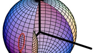
- Fundamentals of Orbit Determination: University of Colorado Boulder
- Spacecraft Dynamics and Control: University of Colorado Boulder
- Rocket Science 101: University of Michigan
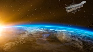
- Rocket Science for Everyone: Yale University
- Geographic Information Systems (GIS): University of California, Davis
- Geospatial Techniques for Engineers: L&T EduTech
- Spacecraft Formation Relative Orbits: University of Colorado Boulder
- Introduction to Image Processing: MathWorks


