Filter by
The language used throughout the course, in both instruction and assessments.
Choose the Remote Sensing Course That Aligns Best With Your Educational Goals
UNSW Sydney (The University of New South Wales)
Skills you'll gain: Machine Learning, Artificial Neural Networks
University of Toronto
Skills you'll gain: ArcGIS, Data Analysis, Data Visualization, Geovisualization, Spatial Analysis, Spatial Data Analysis, GIS Software, Data Analysis Software, Data Visualization Software, Data Management, Databases, Statistical Analysis, Visualization (Computer Graphics), Mergers & Acquisitions
University of Toronto
Skills you'll gain: Data Analysis, Data Visualization, Spatial Analysis, Spatial Data Analysis, Data Analysis Software, Geovisualization, Statistical Analysis, Visualization (Computer Graphics)
Duke University
Skills you'll gain: Critical Thinking
 Status: Free
Universitat de Barcelona
 Status: Free
University of Geneva

Duke University
Skills you'll gain: Data Analysis, Python Programming

Technical University of Munich (TUM)
 Status: Free
Technical University of Denmark (DTU)

University of California San Diego
Skills you'll gain: Internet Of Things, Python Programming
 Status: Free
École Polytechnique
Skills you'll gain: Forecasting
Searches related to remote sensing
In summary, here are 10 of our most popular remote sensing courses
- Remote Sensing Image Acquisition, Analysis and Applications: UNSW Sydney (The University of New South Wales)
- GIS, Mapping, and Spatial Analysis: University of Toronto
- Spatial Analysis and Satellite Imagery in a GIS: University of Toronto
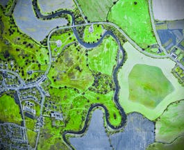
- Drones for Environmental Science: Duke University
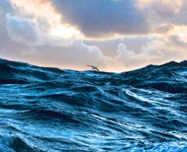
- Oceanography: a key to better understand our world: Universitat de Barcelona
- Ecosystem Services: a Method for Sustainable Development: University of Geneva
- Data Science with NumPy, Sets, and Dictionaries: Duke University
- Digitalisation in Space Research: Technical University of Munich (TUM)
- Wind Energy: Technical University of Denmark (DTU)
- Internet of Things: Sensing and Actuation From Devices: University of California San Diego


