
Filter by
The language used throughout the course, in both instruction and assessments.
57 results for "gis"
University of California, Davis
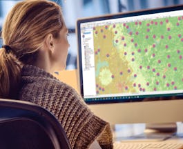
Skills you'll gain: ArcGIS
 Status: Free
École Polytechnique Fédérale de Lausanne
Skills you'll gain: Data Visualization, Databases, Spatial Analysis, SQL

University of Illinois at Urbana-Champaign
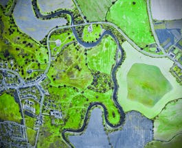
Skills you'll gain: Geovisualization, Python Programming

Yonsei University
Skills you'll gain: Data Analysis, Spatial Analysis, Spatial Data Analysis, Big Data, Data Visualization, Databases, Geovisualization, Data Management, Data Model, Data Visualization Software

Coursera Project Network
Skills you'll gain: Data Visualization
 Status: Free
University of Geneva

École Polytechnique Fédérale de Lausanne
Skills you'll gain: Spatial Analysis
 Status: Free
Pontificia Universidad Católica de Chile

Coursera Project Network
Skills you'll gain: Python Programming

Coursera Project Network
Skills you'll gain: Data Visualization, Python Programming

Coursera Project Network
Skills you'll gain: Business Design

Johns Hopkins University
Skills you'll gain: Epidemiology, Data Analysis, Data Visualization, Problem Solving, Estimation
In summary, here are 10 of our most popular gis courses
- Geospatial Analysis with ArcGIS: University of California, Davis
- Systèmes d’Information Géographique - Partie 1: École Polytechnique Fédérale de Lausanne
- Getting Started with CyberGIS: University of Illinois at Urbana-Champaign
- Spatial Data Science and Applications: Yonsei University
- Geospatial Big Data Visualization with Kepler GL: Coursera Project Network
- Ecosystem Services: a Method for Sustainable Development: University of Geneva
- Geographical Information Systems - Part 2: École Polytechnique Fédérale de Lausanne
- English for Common Interactions in the Workplace: Basic Level: Pontificia Universidad Católica de Chile
- Analysing Covid-19 Geospatial data with Python: Coursera Project Network
- Interactive Geospatial Visualization:Kepler GL & Jupyter Lab: Coursera Project Network


